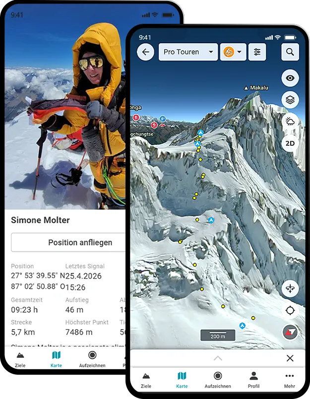
3D Reality Maps was single handedly the best part of my expedition for my friends and family back home. With accurate live tracking on great quality 3D maps they could truly feel part of the climb, every step of the way! I had messages from family saying that the 3D Map was the first and last thing they checked everyday as well as being able to zoom in and out and look at the other mountains in the area too

Expedition Leader
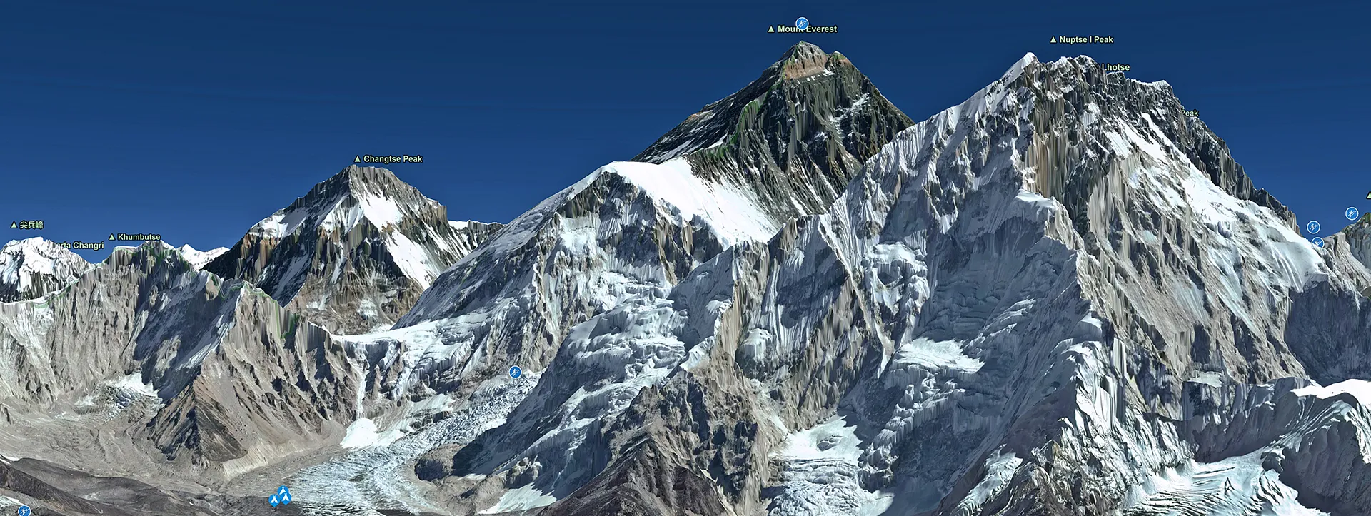
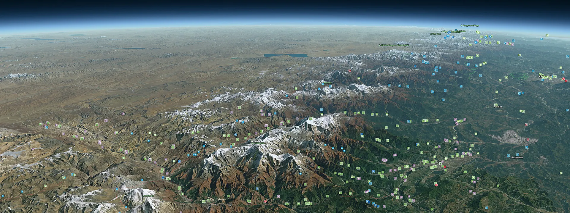
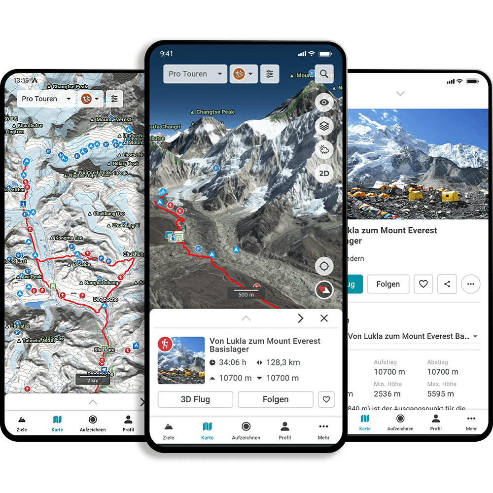
Visiting the routes virtually and evaluating options step by step in combination with tour reports was very valuable for my preparation – at the same time, the 3D live tracking made communication a lot easier and helped many people to participate