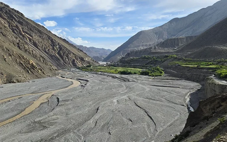
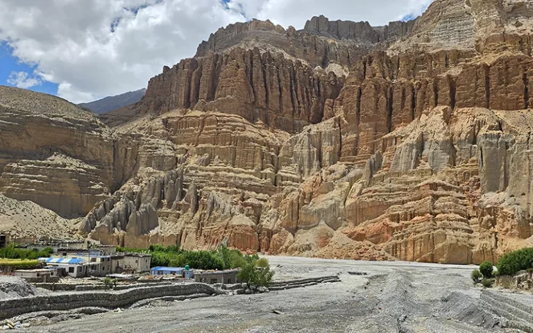
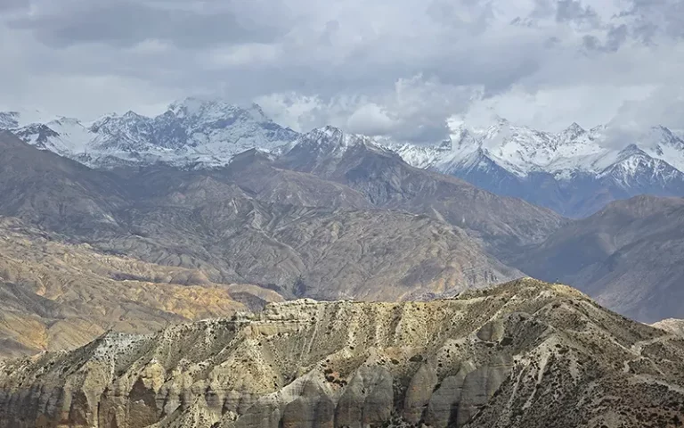
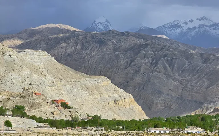
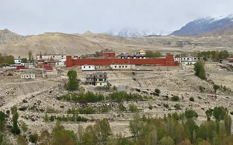
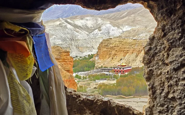
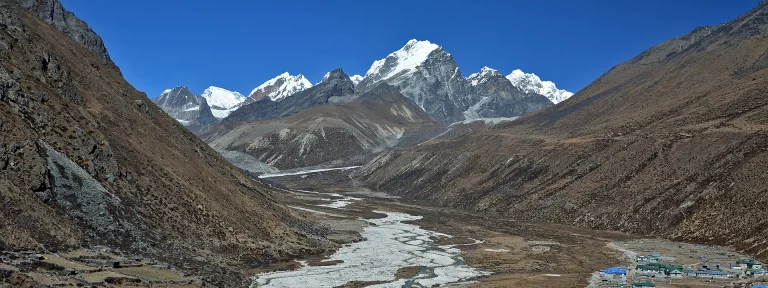
Der Upper Mustang Trek führt in das ehemals isolierte, tibetisch geprägte Königreich Lo im Regenschatten des Himalayas. Die Landschaft unterscheidet sich drastisch vom restlichen Nepal: Statt tiefem Dschungel und schneebedeckten Südwänden wandert man durch eine wüstenartige Hochparterre mit gewaltigen, erodierten Canyons, ockerfarbenen Felswänden und jahrhundertealten Höhlensystemen.
Die klassische Trekking-Tour dauert ab Jomsom ohne die An-/Abreise aus Kathmandu 10 bis 12 Tage. Da Upper Mustang nördlich des Hauptkamms liegt, fällt hier im Sommer (Juni bis August) kaum Regen. Der Trek ist daher eine der wenigen Routen in Nepal, die man während der europäischen Sommermonate begehen kann.
Der Upper Mustang Trek ist eine einfache Wanderung, die meistens über Feldwege, Schotterstrassen und Bergpfade führt.
Man benötigt zwingend ein Restricted Area Permit, das 500 USD für 10 Tage kostet (jeder weitere Tag kostet 50 USD). Zudem gilt eine Guide-Pflicht und eine Mindestgruppengröße von 2 Personen.
Jomsom - Kagbeni - Tag 1
Start: Jomsom (2.743 m) Ziel: Kagbeni (2.858 m) Höhenunterschied: 120 m Länge: 10,5 km, Dauer: 3-4 Stunden
Nach dem spektakulären Flug von Pokhara nach Jomsom, startet der Weg flach im breiten, windigen Bett des Kali-Gandaki-Flusses. Nach einer gemütlichen Wanderung erreichst du Kagbeni, das geschichtsträchtige „Tor“ zu Upper Mustang, ab hier beginnt die kontrollierte Sonderzone.
Kagbeni to Chele - Tag 2
Start: Kagbeni (2.858 m) Ziel: Chele (3.071 m) Höhenunterschied: 840 m Länge: 21 km, Dauer: 6-7 Stunden
Der Weg führt weiter den Flusslauf hinauf. Die Umgebung wird zusehends trockener. Man passiert das Dorf Tangbe mit seinen weiß getünchten Häusern und steigt schließlich steil über eine Hängebrücke hinauf in das auf einem Felsplateau thronende Dorf Chele.
Von Chele nach Syangboche - Tag 3
Start: Chele (3.071 m) Ziel: Syangboche (3.774 m) Höhenunterschied: 1.280 m Länge: 13 km, Dauer: 6-7 Stunden
Ein anstrengender Tag. Man verlässt das Flusstal komplett und überquert die Pässe Taklam La (3.624 m) und Dajori La (3.735 m). Die Landschaft wird spektakulär wild mit tiefen Schluchten. Ein Highlight am Wegesrand ist die heilige Chungsi-Höhle.
Von Syangboche nach Ghami - Tag 4
Start: Syangboche (3.774 m) Ziel: Ghami (3.564 m) Höhenunterschied: 530 m Länge: 11 km, Dauer: 4-5 Stunden
Nach der Überquerung des windigen Nyi La Passes (3.870 m) öffnet sich der Blick auf das weite, von roten Felswänden umgebene Tal von Ghandruk/Ghami. Ghami selbst wirkt wie eine grüne Oase mit Gerstenfeldern inmitten der Steinwüste.
Von Ghami nach Tsarang (Charang) - Tag 5
Start: Ghami (3.564 m) Ziel: Tsarang (3.565 m) Höhenunterschied: 450 m Länge: 11 km, Dauer: 4–5 Stunden
Man passiert Nepals längste Mani-Mauer (eine kilometerlange, kunstvoll gravierte Gebetssteinmauer). Der Weg führt durch eine von bizarren Felsformationen geprägte Hügellandschaft bis nach Tsarang, das für seinen gewaltigen, fünfstöckigen Palast und ein rotes Kloster bekannt ist.
Von Tsarang in die Königsstadt Lo Manthang - Tag 6
Start: Tsarang (3.565 m) Ziel: Lo Manthang (3.825 m) Höhenunterschied: 780 m Länge: 20 km, Dauer: 5-7 Stunden
Sanfter, aber stetiger Aufstieg durch wüstenartiges Terrain. Vom Lo La-Pass (3.950 m) erblickt man zum ersten Mal die ummauerte Hauptstadt Lo Manthang im weiten Talbecken – ein unvergesslicher Anblick.
Erkundung in Lo Manthang - Tag 7
Start und Ziel: Lo Manthang (3.825 m) Höhenunterschied: 180 m Länge: 3 km, Dauer: 2-3 Stunden
Du erkundest die jahrhundertealten Klöster (wie Thubchen und Jampa), den Königspalast oder unternimmt einen Ausflug zu den spektakulären, mehrstöckigen Höhlensystemen von Chhoser (per Pferd oder Jeep). Die Höhlensysteme von Chhoser (nahe der Grenze zu Tibet, nördlich von Lo Manthang) gehören zu den faszinierendsten archäologischen Stätten des Himalayas. Die spektakulärste Höhle ist die Jhong-Höhle, ein fünfstöckiges, von Menschenhand geschaffenes Labyrinth, das komplett in eine senkrechte, Felswand gegraben wurde.